
Walk a Vernon Hills Street
A sound Vernon Hills street directory search begins with one normalized situs address, meaning the physical location of the parcel. It does not begin with a taxpayer mailing address. Lake County keeps those fields apart because a tax bill may go to a trust, company, agent, or another home. First preserve the address exactly as the source gives it. Then test the number, direction, street name, suffix, and unit in the official systems. This makes it possible to follow a block without turning a tax roll into an unsupported list of occupants.
- Validate the delivery form with USPS, then keep the original form in the research notes.
- Search the Lake County assessor by street, city, and number. Save the PIN, certified assessment year, and situs address.
- Open the same parcel in County GIS. Identify nearby parcels, roads, lots, subdivisions, and public rights-of-way.
- Use the PIN, address, and taxpayer or grantee name in the Recorder's index. Alternate grantee and grantor searches to move back through transfers.
- For an older household, consult dated telephone or criss-cross volumes and then confirm the name with another record family.
The sequence is address to parcel, parcel to a party name, then party name to a recorded instrument. A voter self-lookup can verify an individual's own registration and precinct, but Illinois limits voter-file access and use. It is not an open block roster.
Search Vernon Hills by Address
The Lake County Basic Property Search is the most direct address-keyed starting point. Choose Vernon Hills as the city and use the address controls before adding a name. Owner searches generally follow a last-name, first-name form. A PIN is entered without dashes. The page also offers Basic, Advanced, and Map Search tabs, warns against data mining, and identifies the last certified assessment shown.
| Search control | How it helps a street search | Caution |
|---|---|---|
| Address number, direction, street, suffix, unit | Builds the situs address and distinguishes units | Try standard suffix and direction variants |
| City and ZIP | Narrows the parcel rows to Vernon Hills and 60061 | Postal and municipal limits can differ |
| Owner or billing name | Provides a party name for a deed search | Neither field proves occupancy |
| Township | Allows the Township of Vernon tax filter | Township is not the same as Village limits |
| Sort by address | Places matches in useful street order | Use for a defined query, not bulk publication |
A parcel result is a dated tax record. Record its assessment year and certification note before comparing it with a deed or map.
Map Vernon Hills Street Parcels
Lake County's Maps Online and Tax Parcel Viewer supply the spatial half of the street directory. The current tools launched in early 2026. Their parcel, address-label, road-centerline, right-of-way, lot, subdivision, condominium, survey, and historic-tax-map layers help distinguish a home lot from common land or a road parcel.
| Situs fields | Number, direction, street, suffix, unit, city, state, ZIP |
|---|---|
| Parcel fields | Object or parcel identifiers, document number, lot and subdivision context |
| Taxpayer fields | Name and separate mailing-address components |
| District fields | Precinct, township, municipal, library, park, fire, sanitary, judicial, state, and congressional areas |
| Map context | Road labels, parcel dimensions, public or private right-of-way, and historic tax images |
GIS exposes more address and district detail than the deed index, while recorded documents supply the legal history. Map geometry is informational, not a boundary survey. The service also separates situs data from taxpayer mailing data, a key safeguard when reading a Vernon Hills block.
Vernon Hills Street Record Layers
No single record set answers every address question. This coverage table keeps the current parcel, legal document, postal label, and Village file in their proper roles.
| Record Set | Keeper | What It Shows | Access |
|---|---|---|---|
| Assessment roll | Lake County Chief County Assessment Office | PIN, situs, taxpayer, mailing, class, assessment context | Free online search |
| GIS parcel map | Lake County GIS | Parcels, roads, lots, subdivisions, districts, land use | Free viewer and map service |
| Deeds and land instruments | Lake County Clerk Recording Division | Parties, transfers, liens, plats, easements, legal descriptions | Online index, office terminals, historical indexes |
| Postal validation | USPS | Recognized delivery form and ZIP | Free address lookup |
| Permit or municipal file | Vernon Hills Community Development or Clerk | A defined project, ordinance, license, or code file | Department request or FOIA |
The PIN is the strongest bridge between map and land records. Street text can vary, so retain the legal description and subdivision name when the number or suffix fails.
Vernon Hills Deeds Before 1980
The Lake County Public Search regular land-record index covers 1980 forward. Earlier work belongs in the Historical Record department, which reaches from 1841 through 1979, along with handwritten Online Index Books and office help. This clean cutover is one of the most useful local quirks. A failed modern PIN search does not mean the older deed is absent.
For current records, Quick Search accepts party, subdivision, document type or number, and a recorded-date range. Advanced Search adds grantor, grantee, book and page, PIN, property address, township, remarks, and several legal-description fields. A grantor gives property; a grantee receives it. Search each prior grantee later as a grantor to continue the chain.
Public terminals at the Waukegan Recording Division offer free searching during posted office hours. The county pamphlet lists office copies at $1 per page. Online image and payment terms can change, so check the live portal. Older documents may lack a PIN and may need a name, book/page, or legal-description route.
Note: Use Index Only first; full-text OCR can find an address inside an image, but handwriting and poor scans can defeat it.
Read Vernon Hills Address Terms
Four terms prevent common street-directory errors. Keep them beside the source date and office name when saving a result.
- Parcel
- A mapped tax unit identified by a parcel identification number, or PIN. One mailing address can involve more than one parcel.
- Situs address
- The physical address assigned to the parcel, distinct from the address used to mail a tax bill.
- Plat
- A recorded drawing that lays out lots, streets, easements, and dedications within a subdivision.
- Criss-cross directory
- A dated directory arranged by street or address rather than only by surname.
These labels are not interchangeable. A plat defines recorded lot context. The assessor identifies a tax parcel. A directory line is only a dated publication entry, and the taxpayer field does not prove who slept at the address.
Request Vernon Hills Street Files
The Village did not expose a public permit-number, applicant-name, or address search in the inspected sources. Start with the responsible department, then send a narrow request under the Village FOIA process when a defined file is needed. Community Development handles permit review, inspections, zoning functions, and license materials. The Clerk provides another municipal records route.
A useful request names the address, date range, record type, and desired format. Keep a permit file separate from an ordinance case or police report. Police requests go to the Vernon Hills Police Records Division and can identify a known case number or list the person, place, address, date, and documents sought. General FOIA rules and exemptions still apply.
The 2026 building-code update is a date marker. Some forms still cite an older code, so capture the form version and ask for the file that governed the project. Current permit materials are a starting point, not a historical index.
The Village's current department and staff directory helps route a request. It is not a residents directory.
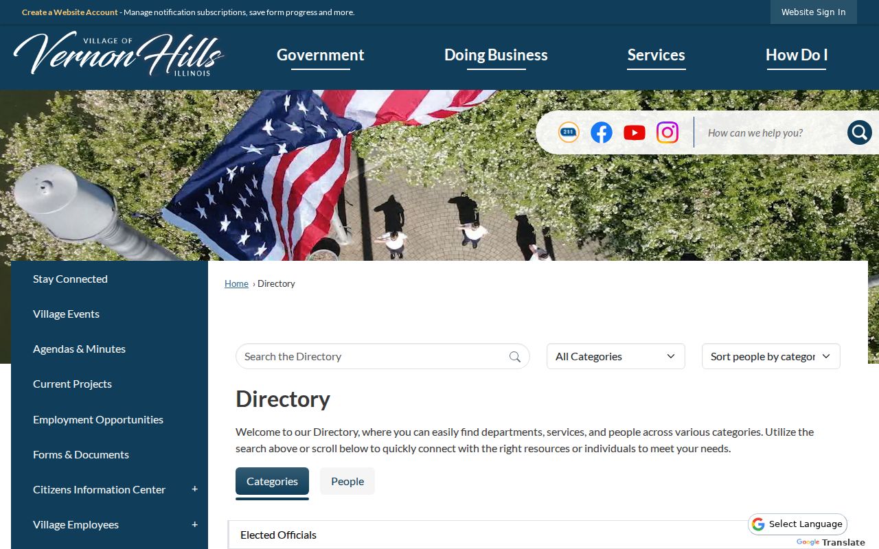
The captured page shows the official route to Village departments, which helps keep municipal requests with the office that owns the file.
The Vernon Hills Clerk's Office page also identifies local services tied to permits, elections, licenses, and Village administration.
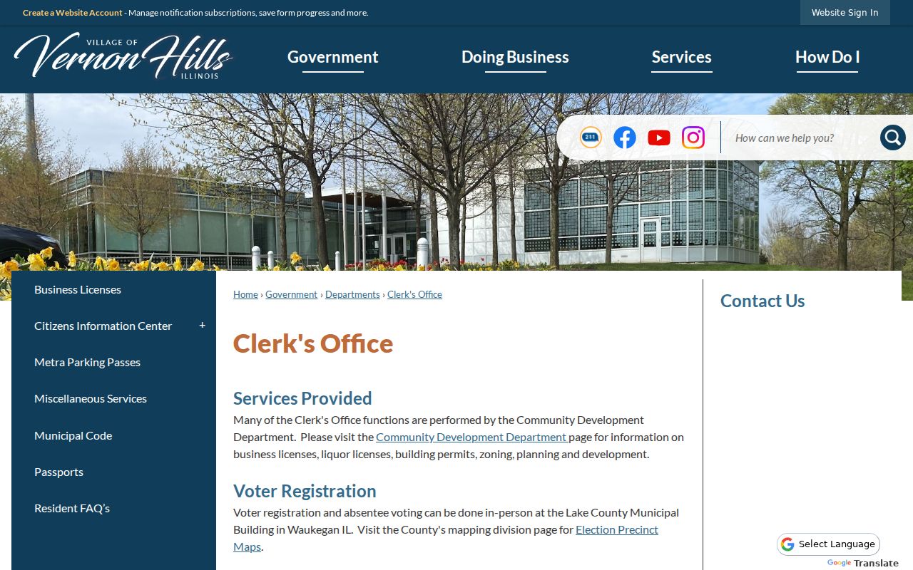
The Clerk capture reinforces the split between Village records and county-held deeds, assessments, and election files.
The Village business-license page lists business and occupancy forms, though no searchable license register was found.
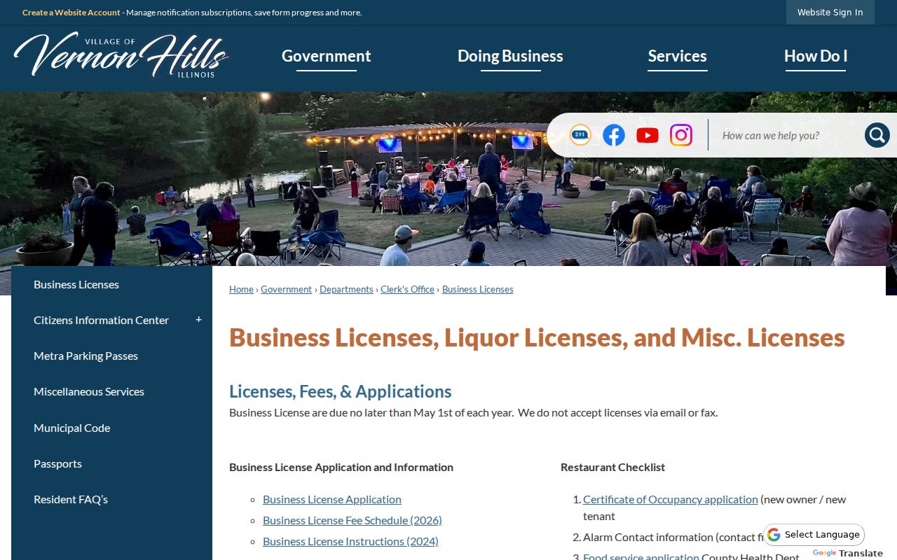
This capture shows why a defined request is needed when a street question concerns an occupancy file rather than a parcel.
Confirm Vernon Hills Street Labels
The USPS ZIP Code Lookup verifies how an exact street address should be formatted. Its address mode uses street, city, and state, with company, unit, and ZIP as supporting fields. USPS expressly warns that a returned address does not confirm a person or company. That makes the tool useful for normalization, not identity.
Vernon Hills uses the verified 60061 postal label, but a ZIP is not the same as the incorporated Village, Vernon Township, a precinct, or any service district. County GIS can show several of those layers on the same parcel. Preserve both the original source string and the standardized postal form when comparing an old record.
Older Vernon Hills Street Clues
When a street name is too new for an older record, move from the modern parcel to its subdivision, plat, township, section, range, and legal description. The Cuneo and Hawthorn land history is a local example: modern Gregg's Landing parcels overlay an older estate and farm chain, annexation records, plats, and dedications. A new-looking road can therefore have a much older land trail.
Historical address research belongs with the collections on the Vernon Hills city directory page. The Lake County Illinois Genealogical Society holds landowner-map indexes and local material, while Waukegan Public Library offers directories and newspapers. Search alternate place labels such as suburban north, Libertyville, Mundelein, or Half Day when Vernon Hills is absent.
Note: An old directory omission is a gap to document, not proof that a family had left the area.
Limits of Vernon Hills Street Records
A Vernon Hills street directory assembled from official sources cannot establish every person who lives at an address. Parcel systems describe ownership and taxation. Deeds document recorded interests. Postal tools validate delivery text. None is a complete household register. Renters, relatives, guests, recent movers, and people using protected addresses can be absent or appear only in a properly restricted record.
Illinois voter tools are designed chiefly for a registered voter to verify status and precinct information, and electronic voter data carries statutory limits. Driver and motor-vehicle address data are closed under federal law. The Illinois Address Confidentiality Program can provide a substitute address to qualifying victims. Those protections are intentional.
Lawful use. Use Vernon Hills address records only for lawful personal, property, genealogy, or civic research. Never use an address trail to stalk, harass, intimidate, or harm anyone.
Verify a meaningful conclusion with the custodian and a second, independent source. Dates matter. A tax snapshot, directory edition, and recorded deed may each be accurate for different moments.